Nowadays, digital data is the most important source of information used by organizations (from small businesses to governments) to make decisions. Geospatial data analytics can be considered one of the most popular forms of such data. Thanks to it, we can visualize information about the object’s location. And if earlier such data were used only by the armed forces, aviation, and naval organizations, now geospatial information is in demand in a wide variety of areas: healthcare, retail, logistics, transportation, financial services, etc.
Let’s try to understand what precisely geospatial data is and why it is the future.

What is Geospatial data?
As mentioned above, geospatial data is information about the object’s location. It includes records about the object characteristics, the time within which the thing is at a particular point, and specific attributes.
Such a wide range of information provides analysis of many sources: satellite imagery, population census, and social media and weather data. All processed information is visualized in graphs, maps, statistical tables, etc., and it displays current shifts and historical changes as well. Thus, geospatial data allows you to analyze the object state at a given moment and predict its future.
Geospatial data can be combined into geospatial information systems, thus obtaining information about several objects simultaneously. For example, we can overlay hurricane maps on maps with potential lightning strikes and get an overall picture of the region during a disaster.
Types and examples of Geospatial data
There are two types of geospatial data: vector and raster. The former stylizes objects as points, polygons, and lines. Due to the specificity of the resulting image, they are used to display infrastructure and nature objects: roads, buildings, mountains, etc. The latter is created from pixel or gridded cells to represent objects in photographs or satellite images. Therefore, it is suitable for large fields of activity.
There are various geospatial data examples. For example, census data for specific regions are used to analyze social processes. Also, calls from mobile phones are routed via satellite based on GPS coordinates.
Geospatial data use cases
Today geospatial data have found their application in various fields.
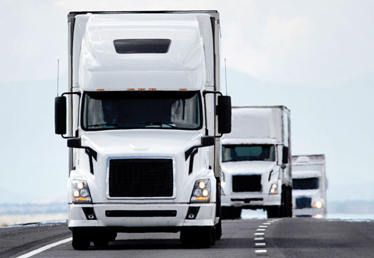
Logistics and Transportation
This area allows you to track the movement of goods and their safety, increasing cargo transportation efficiency. We can also create safe routes during natural disasters. In our daily life, we can use them in fitness apps or public transport tracking.
Forestry and agriculture
In forestry, geospatial data helps detect deforestation and forest fires, and the latter is especially true for regions such as the Brazilian Amazon. Geospatial data can track soil and vegetation conditions in agriculture, optimizing agricultural operations and minimizing damage to natural resources.
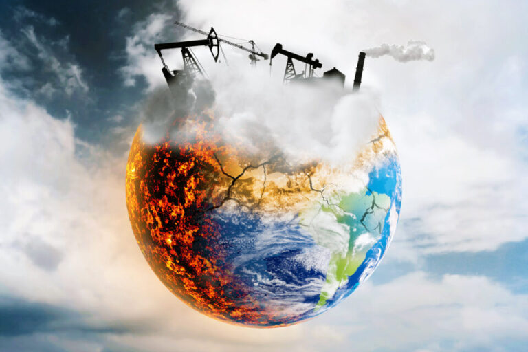
Meteorology and ecology
Thanks to geospatial data, we receive weather forecasts for specific regions, and we can also prevent and respond to natural disasters. In ecology, this information tells us about growing or decreasing the population of various species. In this way, we can protect endangered species.
The future of Geospatial technology
Contemporary research and innovation in geospatial data drive an ever-expanding range of applications. So this data is an essential element in developing AI and machine learning technologies in drones and autonomous spacecraft. Geospatial information is also in demand in the field of virtual reality, as well as in urban planning and construction. At the same time, the expansion of the scope of such information makes it more and more accessible to a wide range of users.
Thus, in the modern world, geospatial data is the most important source of information. It allows implementing various projects: from controlling the transportation of private cargo to ensuring the protection of endangered animals and optimizing agricultural work. At the same time, today, users of such information are public or private companies, organizations, and ordinary people. Continuous research and innovation in the field of geospatial data indicate that this technology will continue to evolve and continue to expand into our lives.
Other articles from mtltimes.ca – totimes.ca – otttimes.ca

Mtl Duct Cleaning and dryer vent cleaning answering all your questions

Montreal goaltender Carey Price enters NHL players assistant program