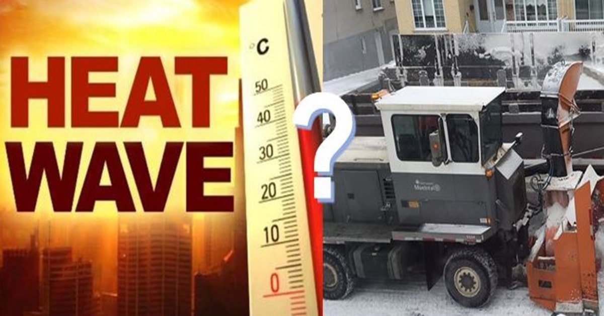
Fall and Winter – After historic, record-breaking temperatures this year, from the frigid month of May to the never ending heatwaves this past summer, the reality and effects of climate change have become very real. In fact, if urgent and immediate action is not taken, as expert climatologists and scientists have been warning us about for decades, there will be no reversing it. With that in mind, many people are wondering what the Fall and Winter season will bring to Montreal? The answer is… there is no real and clear answer.
Fall and Winter according to the Old Farmer’s Almanac, which has been fairly accurate about half the time, the Fall season for Southern Quebec will be close enough to average for the balance of September, bringing us scattered showers and mild enough temperatures about one degree below the average of 13°C, and precipitation also average for this time of the year, which is 90mm for the month. For October, they are predicting temperatures around 9.5°C which is 1.5° above average and precipitation around 50mm which is 30mm below average. The end of October from the 29th to the 31st might have some flurries falling on the city and it is expected to be colder – which is not too unusual. So far, so good and unlike the more extreme weather predicted for other parts of Canada. We appear to have bucked the trend this year.
According to meteorologists from the Weather Network and stats from Environment Canada, the rest of September and through most of October for the Montreal area should be on average and expected to bring us weather much cooler than compared to last year at this time, when we experienced record breaking heat. For the end of October and through November it should be milder than normal with less days of rain, but when it does rain, moisture from tropical systems should see heavy downpours and storms bringing us close to average precipitation in and around the city.
The good news is, although the colours of fall foliage will peak later than normal this year, due to the weather it is expected to be far more colourful, except in areas that were significantly impacted by this past season’s dry conditions.
As for winter, both the Weather Network and the Old Farmer’s Almanac indicate milder or near normal temperatures for the most part – but with some heavier and harsher snow falls with above-normal precipitation and slightly below-normal temperatures from late December into the first half of January. The same pattern is expected to continue in late January then early and mid-February, with the snowiest periods in early December, late February and mid-March.
Bottom line, predictions are just that – predictions. And given the erratic and extreme conditions we have seen just this past year alone, with forecasts changing overnight, it is best to be prepared to adjust to the weather as it happens. There really is no sure way at this point to really know what to expect.